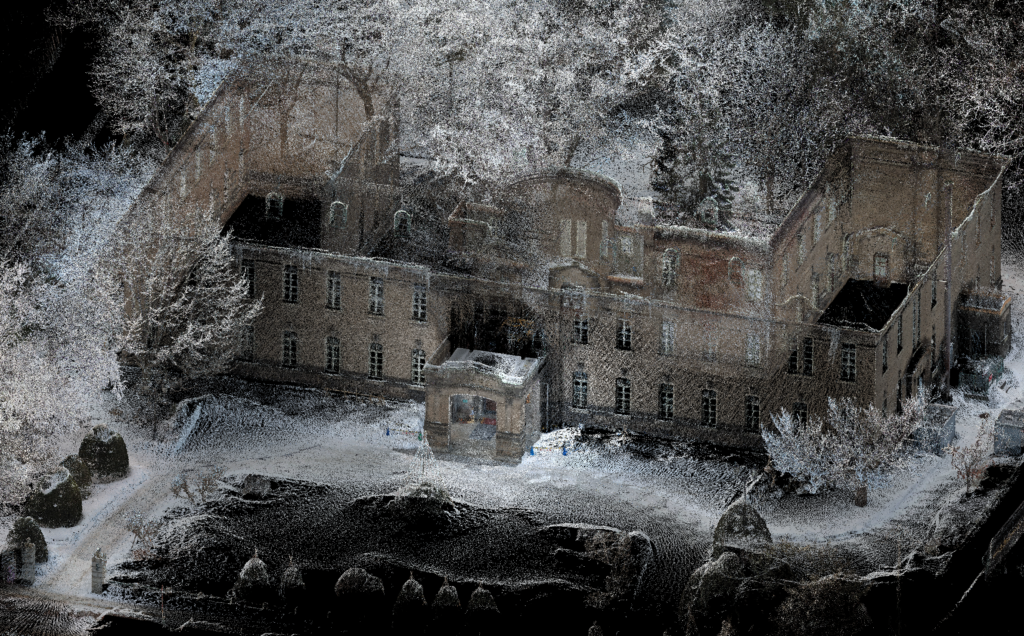
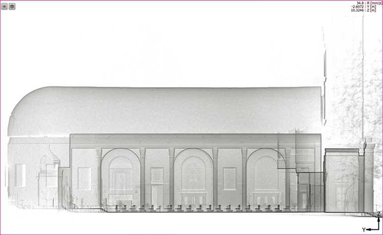
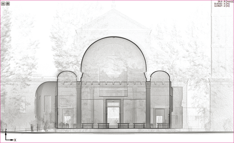
By holding the X120GO in your hand and pressing the start button and walking, it is possible to collect 3D data. The maximum measurement distance is 0.5m to 120m, making it suitable for collecting data over a wide area in a short time. During measurement, you can check the data acquisition status in real time on your Android device using GOapp.
It is equipped with three cameras, which acquire texture information while synchronizing, and generates color point clouds and panoramic images.
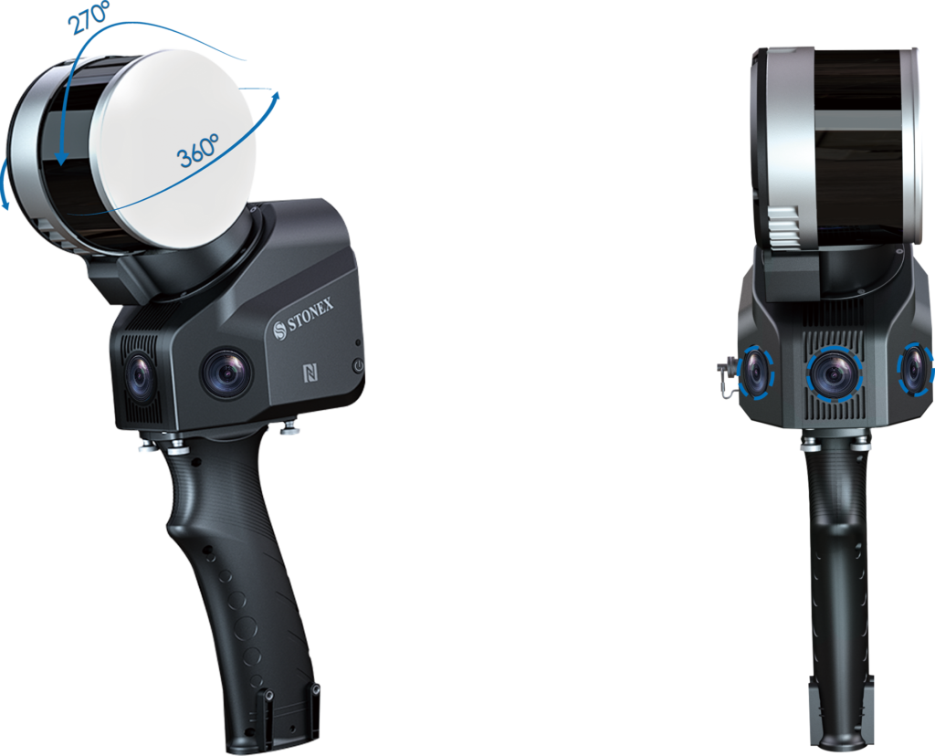
360° rotating laser + panorama camera
Pier Inspection Work] X120GO + XVS SLAM Solution
