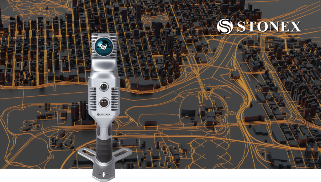
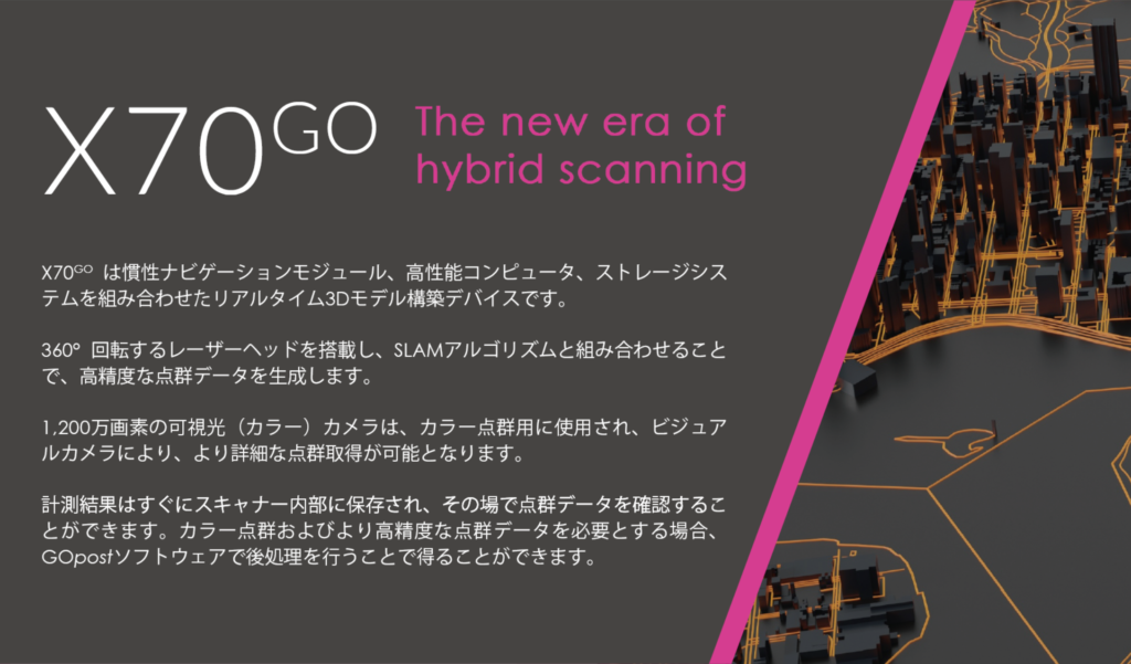
This is a handy laser scanner that combines both LiDAR SLAM and terrestrial laser scanning, something that has never been done before. In addition to a high-resolution RGB camera, it also has a built-in visual camera that helps to acquire point clouds, and once the measurement is complete, you can check the point cloud data on the spot.

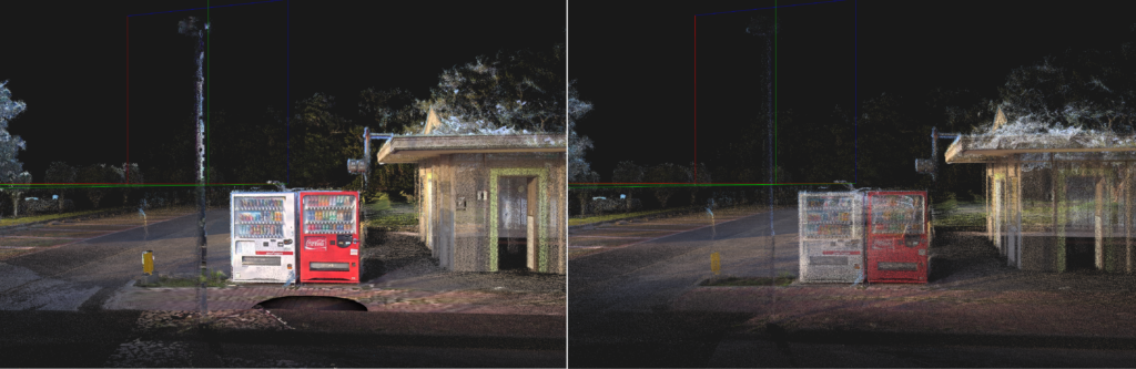
Comparison of X70GO’s Static mode (left) and Normal mode (right)
