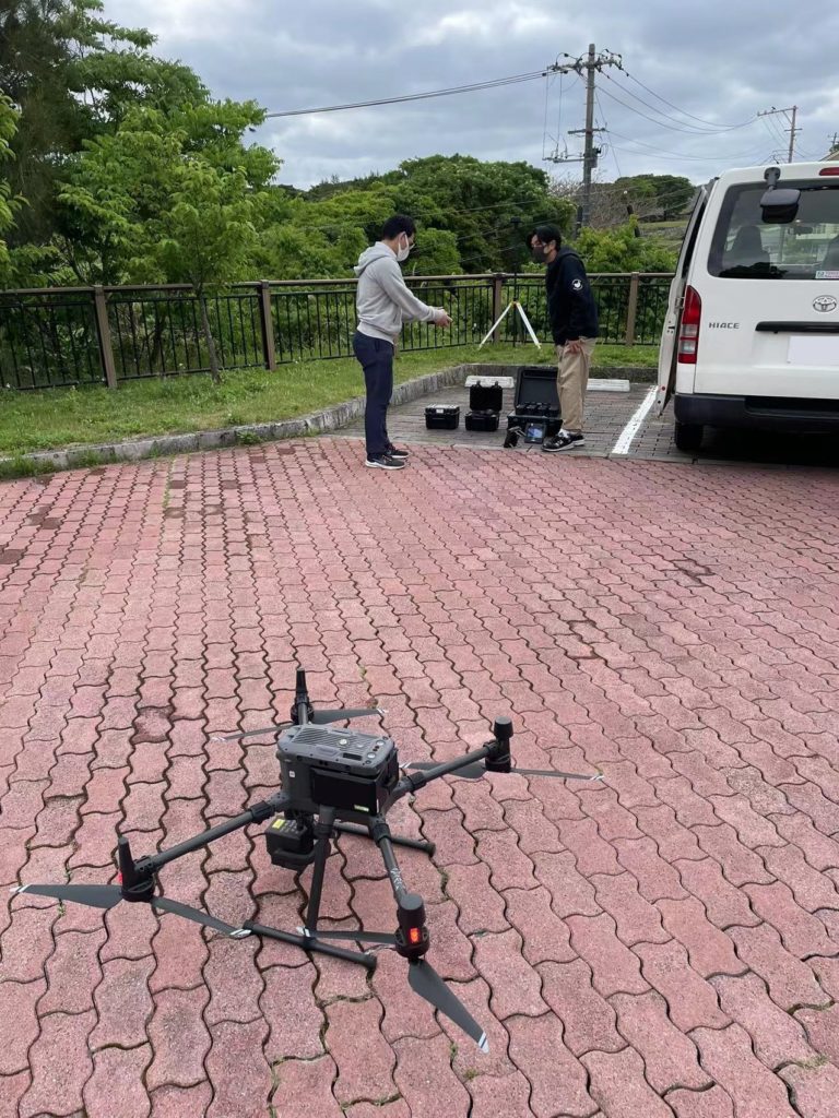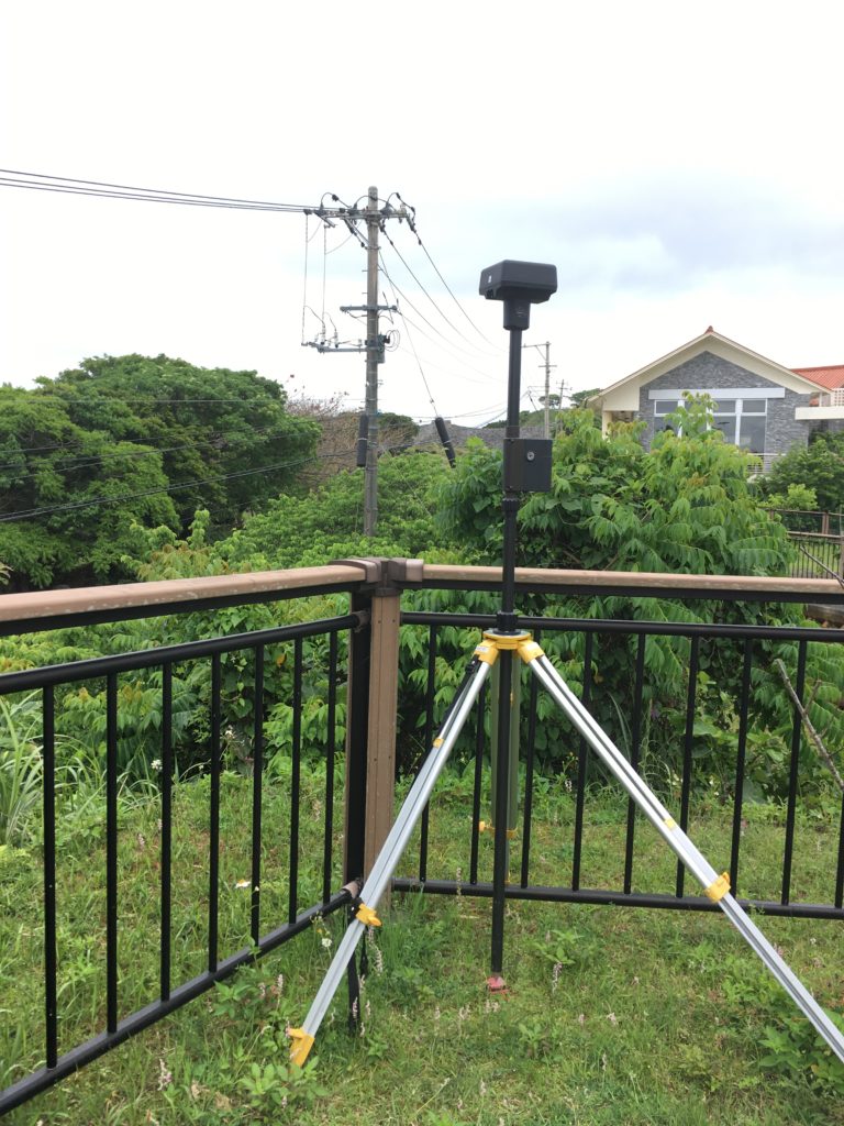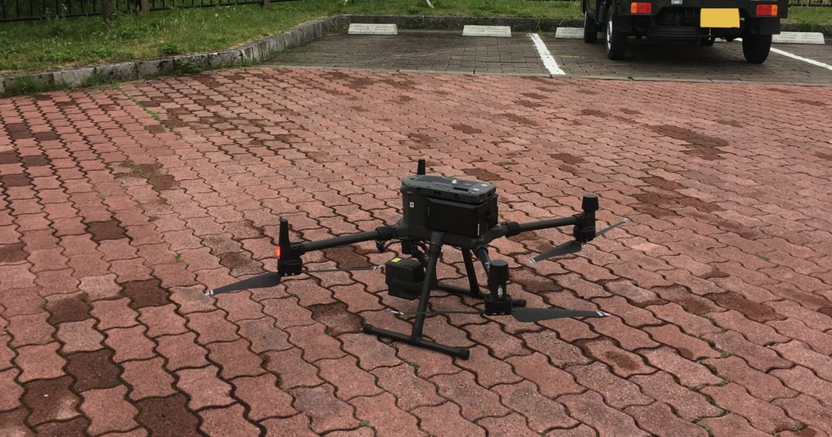
We implemented the topographic surveying by DJI UAV LiDAR from our client’s request.This system is buondled with DJI Martrice300 and Zenmuse L1.
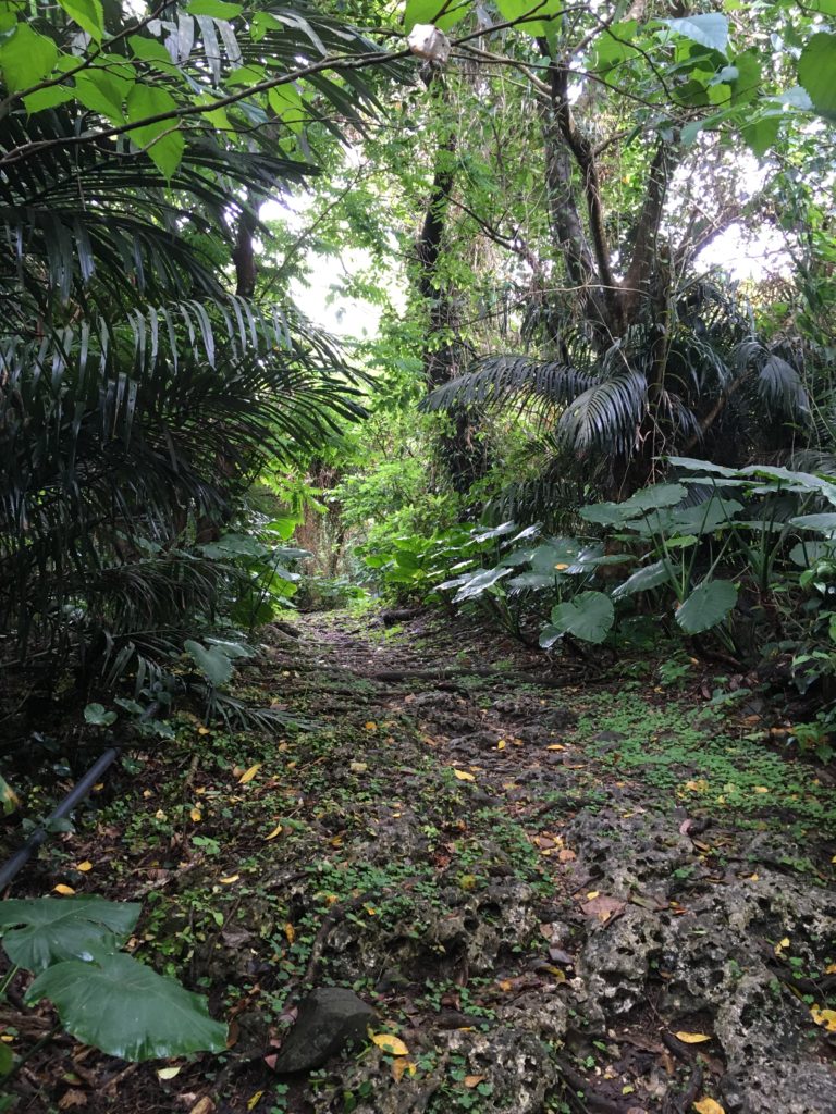
This solution provides the data capture in deep canopy environment. In addition, it is very good cost effective.