Are there any issues with introducing ICT in the workplace?
Are there any issues with introducing ICT
in the workplace?
We provide solutions that
combine hardware and software
We provide total support for issues that arise on-site.
Please consult us about any questions you may have, even if you are unsure what the issue is or how to proceed.
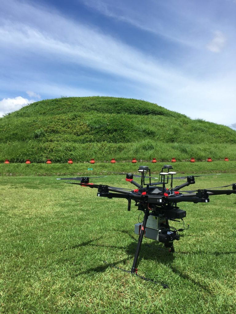
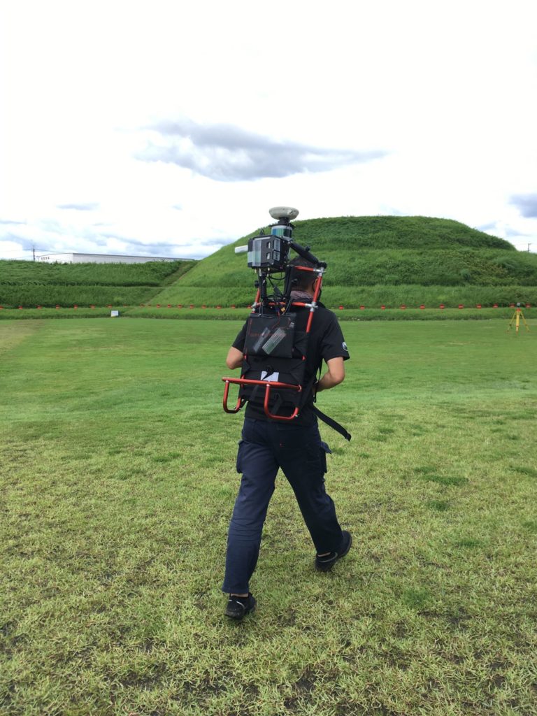
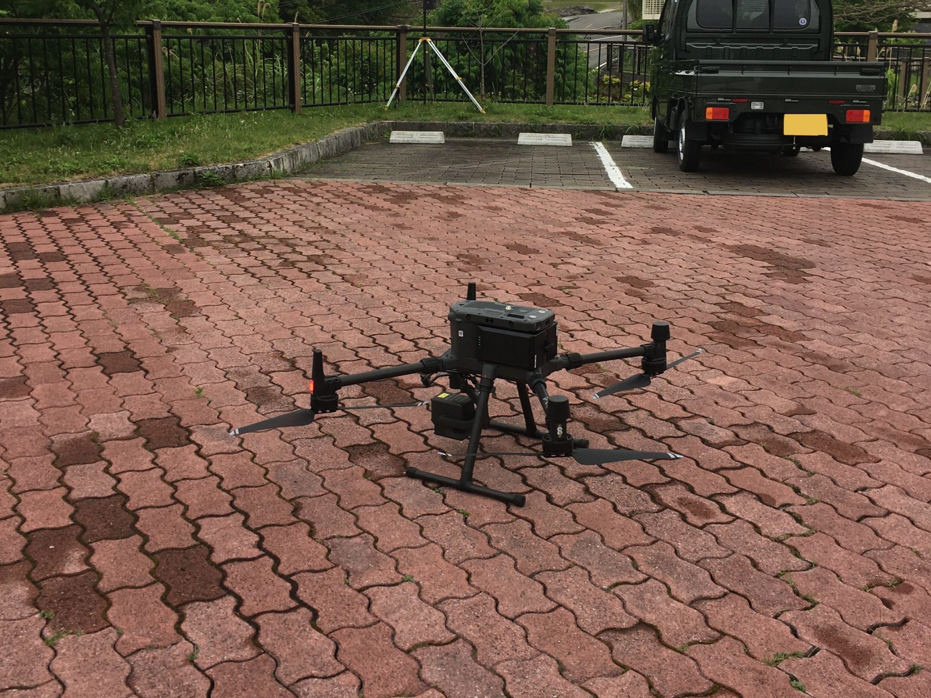
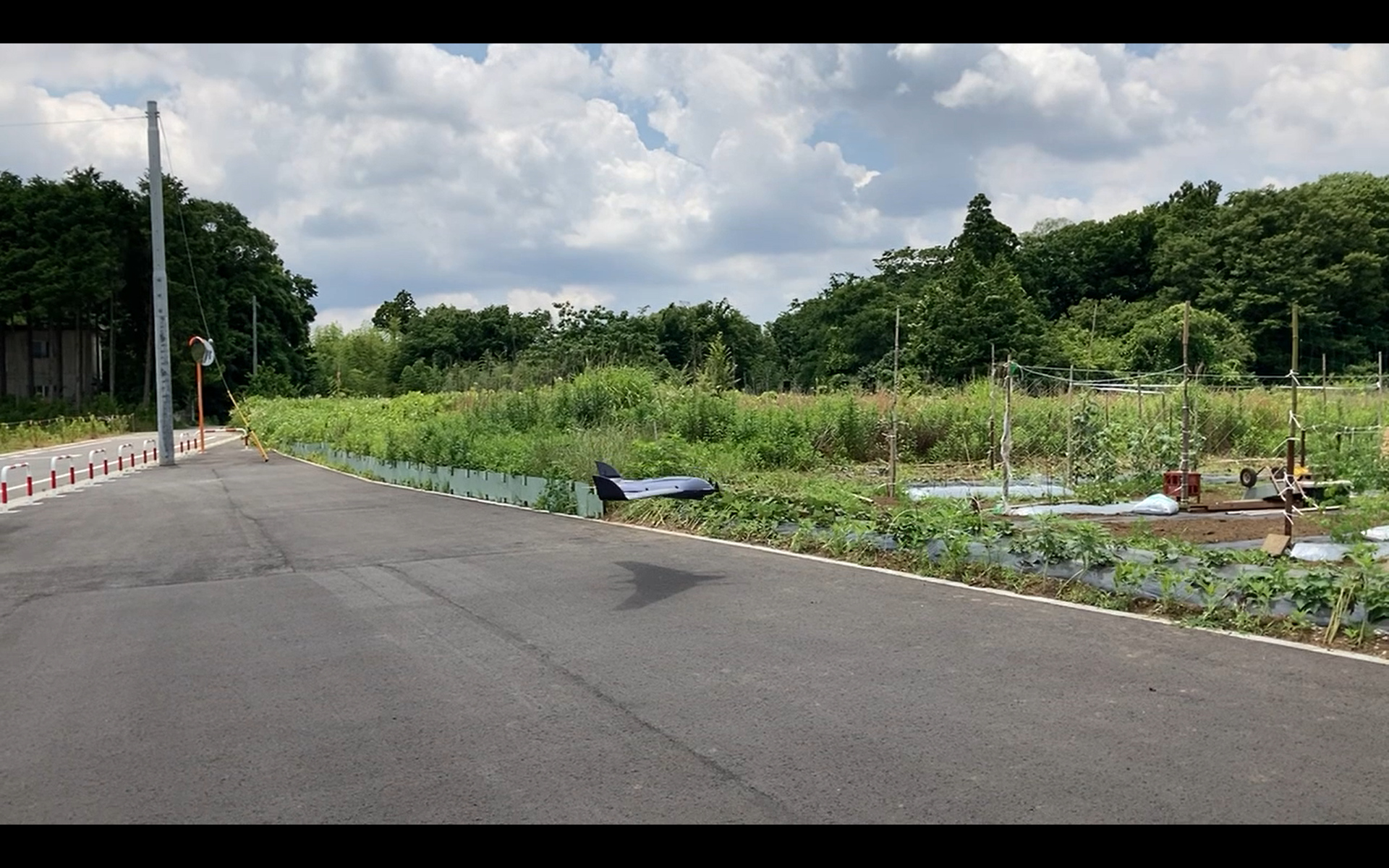
At AGILE GEO DESIGN CORPORATION
we develop GIS software, AI systems, and sell and support GNSS-related hardware
©2026 AGILE GEO DESIGN CORPORATION. All Rights Reserved.
©2026 AGILE GEO DESIGN CORPORATION. All Rights Reserved.